FieldGenius Support for Emlid Reach RS3
MicroSurvey has released FieldGenius Version 12. This release brings essential fixes and expands hardware support to enhance the surveying experience
Read More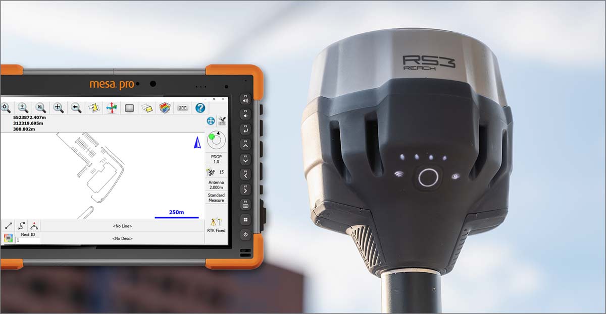
MicroSurvey has released FieldGenius Version 12. This release brings essential fixes and expands hardware support to enhance the surveying experience
Read More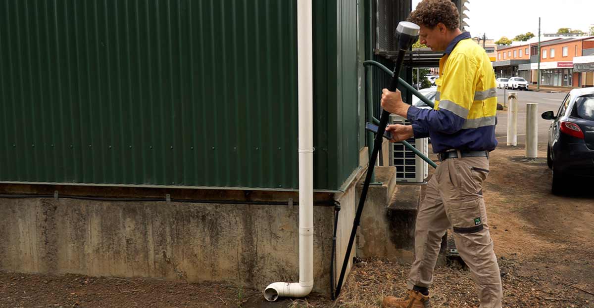
Alistair takes a look at Emlid’s Reach RS3 GNSS receiver. The Reach RS3 includes IMU-based tilt compensation and an integrated 450 MHz radio receiver. Survey and stakeout faster with no need to check the bubble. Receive corrections from a base transmitting at 450 MHz.
Read More
Cross Solutions delivers surveying services across northern Australia. Position Magazine’s recent feature article looked at their use of Emlid Reach GNSS receivers as part of their survey workflow.
Read More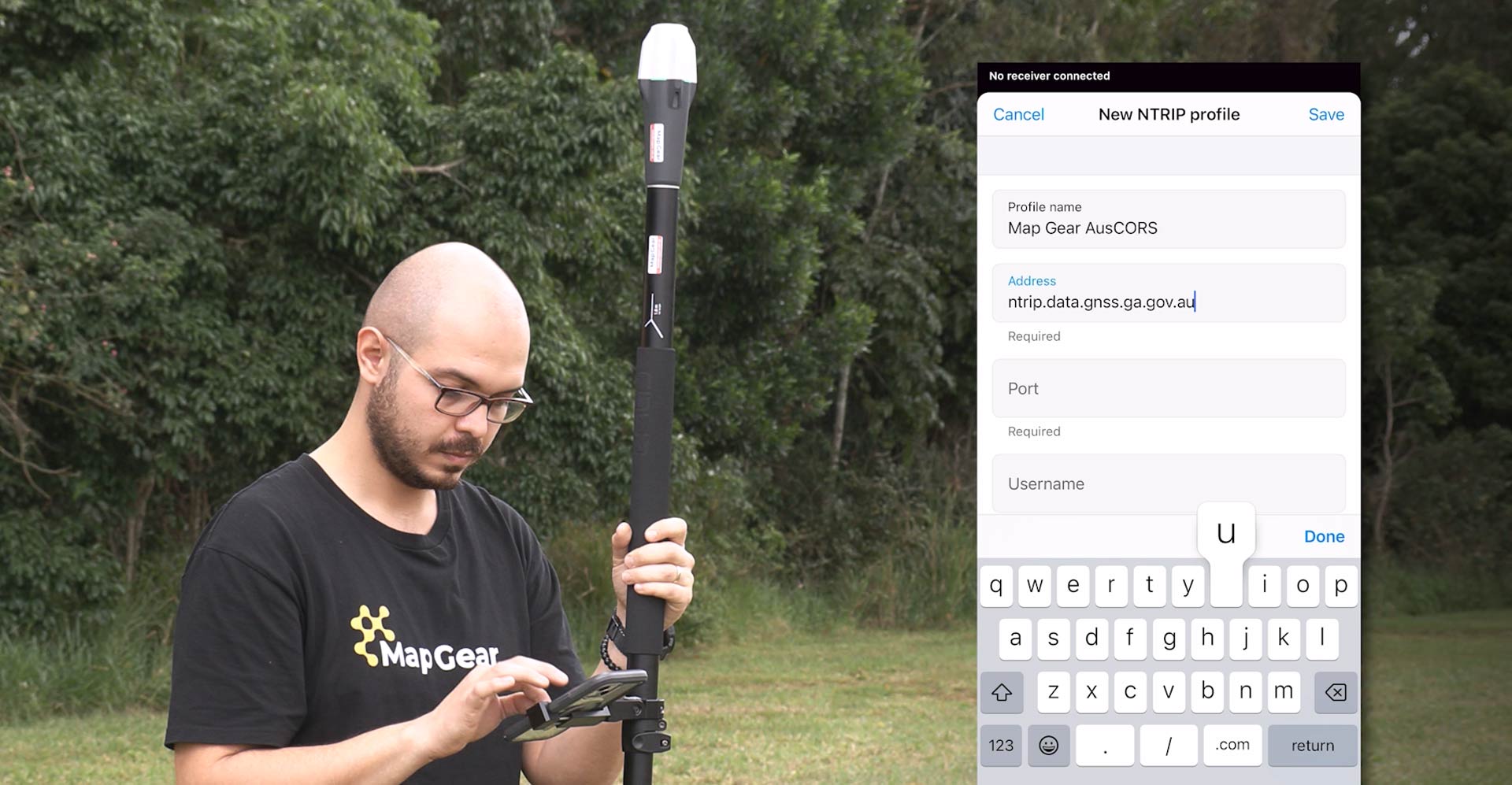
The Emlid Reach RX network rover is a pocket-sized GNSS receiver for precise positioning. This article and video provide a detailed overview to help new users get started.
Read More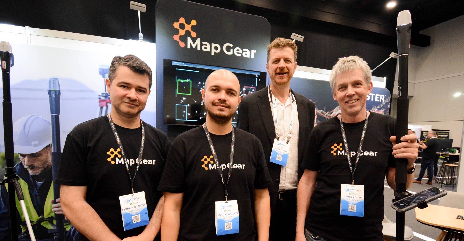
The Map Gear team had a great trip to Adelaide for Locate23 – Australia’s premiere geospatial event. The exhibition provided a great opportunity to catch up with existing clients and showcase our latest products and software from Emlid and Ouster.
Read More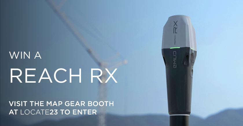
Win an Emlid Reach RX by registering at the Map Gear booth at Locate23 in Adelaide.
Read More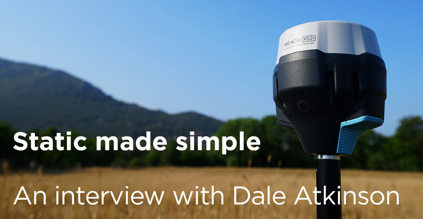
“Emlid gear has saved me a lot of time and effort – it’s really added value to my business!”
Dale Atkinson works as a cadastral surveyor and finds Emlid gear fantastic to work with on long line static surveys.
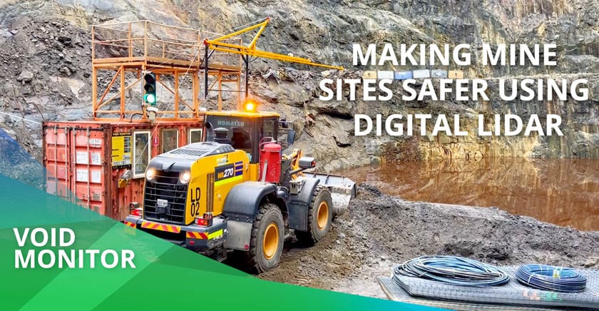
Open voids are a potential hazard in both underground and open cut mines. Jake Hartwig from Custom Mining Solutions has created a solution using digital LiDAR to provide site users with real-time feedback on the status of the void and void face.
Read More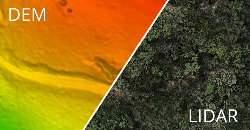
Up until recently, Photogrammetry has been the most cost-effective solution for aerial survey. LiDAR technology is becoming increasingly more competitive in pricing. With both technologies providing fast, high data density, the selection of the best technology really comes down to your project, environmental conditions and timeframes.
Read More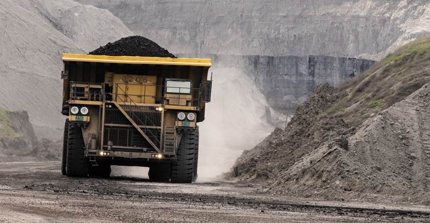
LiDAR is no stranger to the mining industry. Its ability to detect, identify and evaluate potential hazards, LiDAR is making mining operations safer, through an ever-growing list of applications.
Read More