Description
Next Generation Mapping
DJI has rethought its drone technology from the ground-up, revolutionizing its systems to achieve a new standard for drone accuracy – offering
Phantom 4 RTK customers centimetre-accurate data while requiring fewer ground control points.
Centimetre Level Positioning System
A new RTK module is integrated directly into the Phantom 4 RTK, providing real-time, centimetre-level positioning data for improved absolute accuracy on image metadata. Sitting just beneath the RTK receiver is a redundant GNSS module, installed to maintain flight stability in signal-poor regions such as dense cities. Combining both modules, the Phantom 4 RTK is able to optimize flight safety while ensuring the most precise data is captured for complex surveying, mapping and inspection workflows.
Gather Accurate Data with TimeSync
To take full advantage of the Phantom 4 RTK’s positioning modules, the new TimeSync system was created to continually align the flight controller, camera and RTK module. Additionally, TimeSync ensures each photo uses the most accurate metadata and fixes the positioning data to the center of the CMOS – optimizing the results from photogrammetric methods and letting the image achieve centimetre-level positioning data.
Precise Imaging System
Capture the best image data with a 1-inch, 20 megapixel CMOS sensor. The mechanical shutter makes mapping missions or regular data capture seamless as the Phantom 4 RTK can move while taking pictures without the risk of rolling shutter blur. Due to the high resolution, the Phantom 4 RTK can achieve a Ground Sample Distance (GSD) of 2.74cm at 100 meters flight altitude. To ensure each Phantom 4 RTK offers unparalleled accuracy, every single camera lens goes through a rigorous calibration process where radial and tangential lens distortions are measured. The distortion parameters gathered are saved into each image’s metadata, letting post-processing software adjust uniquely for every user.
Access to the World's Leading Drone App Ecosystem for Survey Missions
Pilots with experience using 3rd party applications on DJI drones can now access the world’s leading drone app ecosystem for their Phantom 4 RTK with the SDK remote controller.
Note: in order to experience the full power of RTK flights, please make sure the intended third-party drone app is compatible with the Phantom 4 RTK capabilities.
OcuSync Transmission System
Enjoy stable and reliable HD image and video transmission at distances of up to 7km, great for mapping larger sites.
*Unobstructed, free of interference, when FCC compliant. Maximum flight range specification is a proxy for radio link strength and resilience. Always fly your drone within visual line of sight unless otherwise permitted.
Third-Party Compatibility
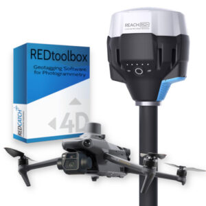
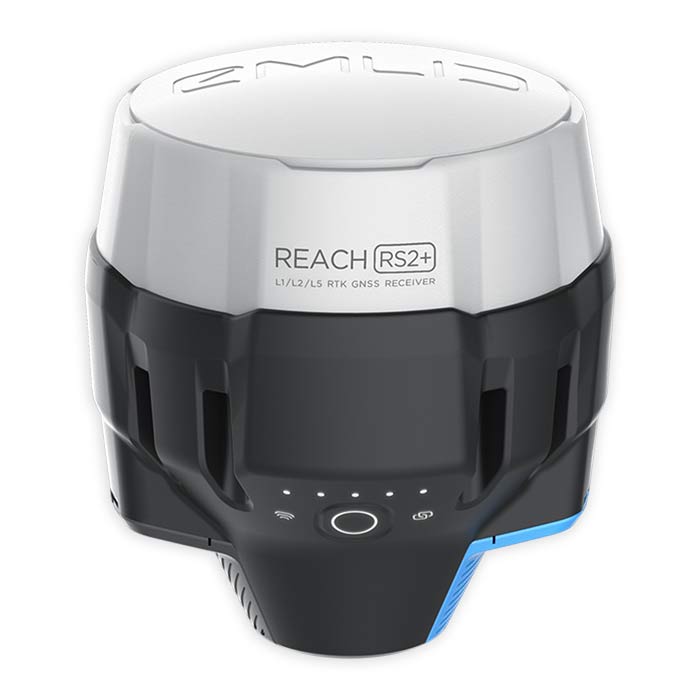
The DJI Phantom 4 RTK SDK is capable of receiving RTCM3 corrections from the Emlid Reach RS2+ or Reach RS3, via local or remote NTRIP connections.
The RINEX data recorded by the aircraft can also be used on PPK workflows. Read more about how can the REDcatch REDtoolbox software can support that process.