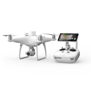
Description
Correlator3D™ is a patented end-to-end photogrammetry solution for the generation of high-quality geospatial data from satellite and aerial imagery, including drones.
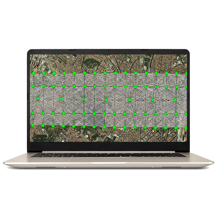
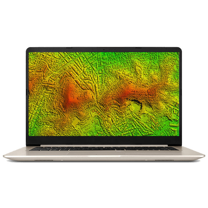
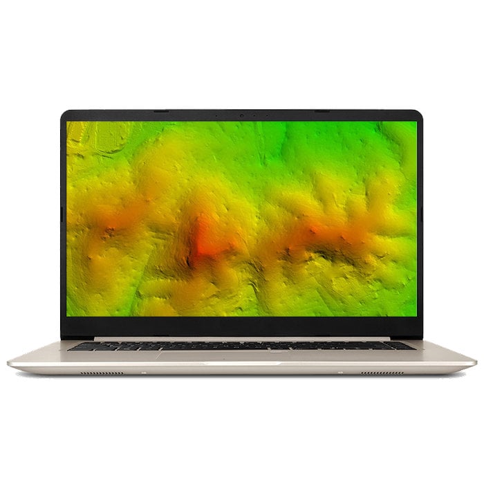
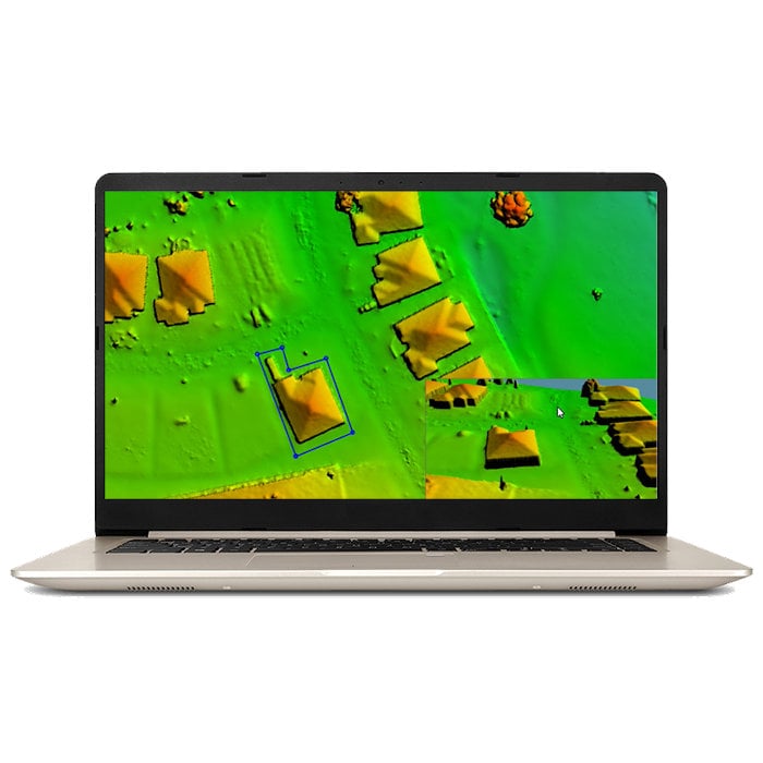
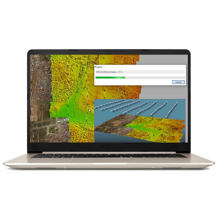
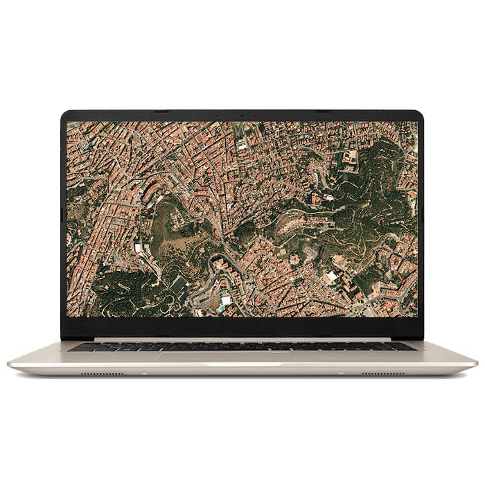
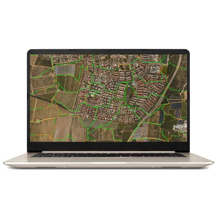
Correlator3D™ performs aerial triangulation (AT) and produces dense digital surface models (DSM), digital terrain models (DTM), point clouds, orthomosaics, 3D models and vectorized 3D features.
Powered by GPU technology and multi-core CPUs, Correlator3D™ ensures matchless processing speed to support rapid production of large datasets.
Leading technologies, unique benefits
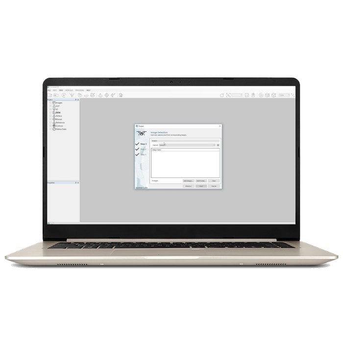
- Simple and user-friendly interface;
- Unlimited number of images;
- Survey-grade accuracy with detailed reports;
- Fast processing on GPUs and multi-core CPUs.
Additional tools
- DEM contour extraction;
- Point cloud colorization;
- GCP extraction;
- Volume calculation;
- 3D change detection;
- Script mode and command line;
- NDVI map creation;
- DEM inspection.
See how it is done
Any sensor, one software interface
Drone
- Any UAV platform;
- All cameras and sensors;
- Infrared and multispectral imagery.
Aircraft
- Ultracam;
- DMC;
- RCD30;
- Phase One;
- ADS;
- VMA3;
- Scanned films;
- Multi-camera setups.
Satellite
- GeoEye;
- WorldView;
- IKONOS;
- SPOT;
- RADARSAT-2;
- KOMPSAT;
- Pléiades.
System requirements
Standard PC
- Windows 10 (64 bit);
- Intel Core i7 or i9 (or equivalent AMD) processors;
- 16GB RAM;
- SSD storage is recommended;
NVIDIA GeForce, Quadro, Tesla, GRID or AMD Radeon, FirePro graphics cards
Cloud solutions
- Amazon Web Services;
- Microsoft Azure.
Resources

Manual
Correlator3D™ Quick Start Guide

Manual
Correlator3D™ User Manual

Whitepaper
Correlator3D™ Whitepaper

Case Study
Correlator3D™ and Phase One

Videos
Correlator3D™ Tutorial Videos

Frequently Asked Questions
Correlator3D™ Knowledge Base

