Description
Features
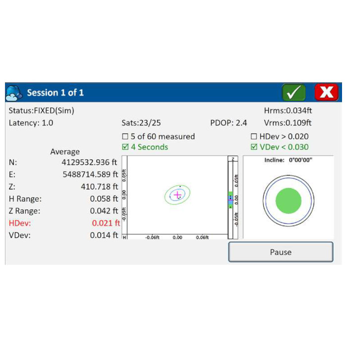
- Designed for cadastral, construction, mine surveys and mapping applications
- A highly flexible, graphical and intuitive user interface, designed for surveyors
- Store points through one-press coding, or create acquisition forms of attributes for detail work complete with photos
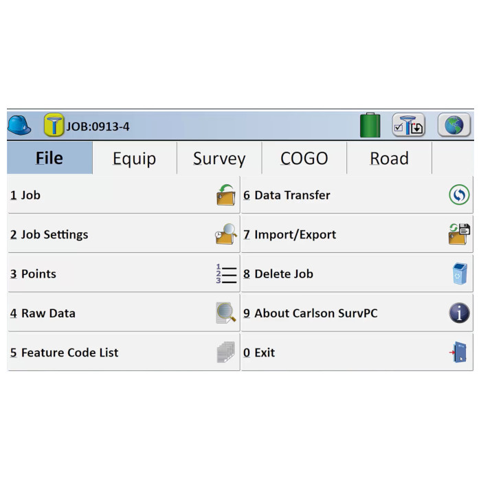
- SurvPC records each job’s raw data into an independent journal file
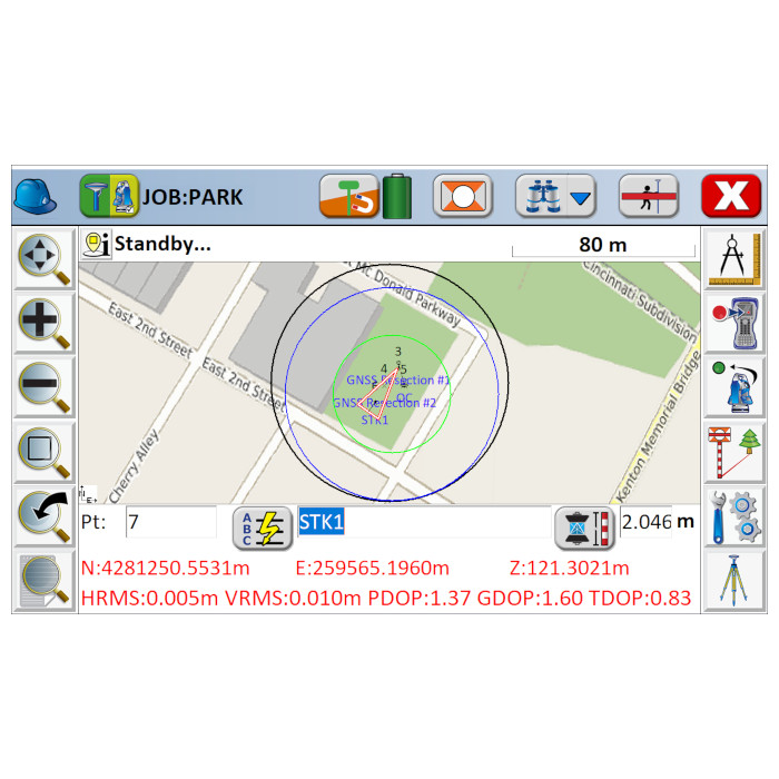
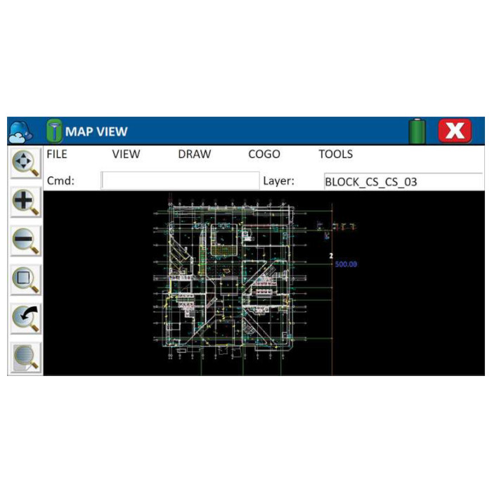
- Use DXF, DWG, DGN, KML, SHP or ASCII formats and overlay WMS, WFS web services
- Calculation and reporting of volumes using breaklines
- Solve complex problems using built-in algebraic, RPN and triangle calculators with access to the points database
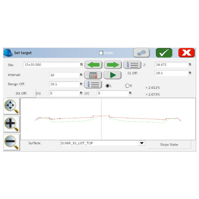
- Full stakeout functionality for points, lines and polylines, including offsets such as half angles
- SurvPC tools are world-class and dependable
Resources

Brochure
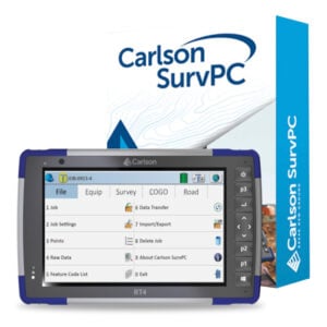
Carlson SurvPC

SurvPC Resource Centre
View SurvPC supported hardware

