Description
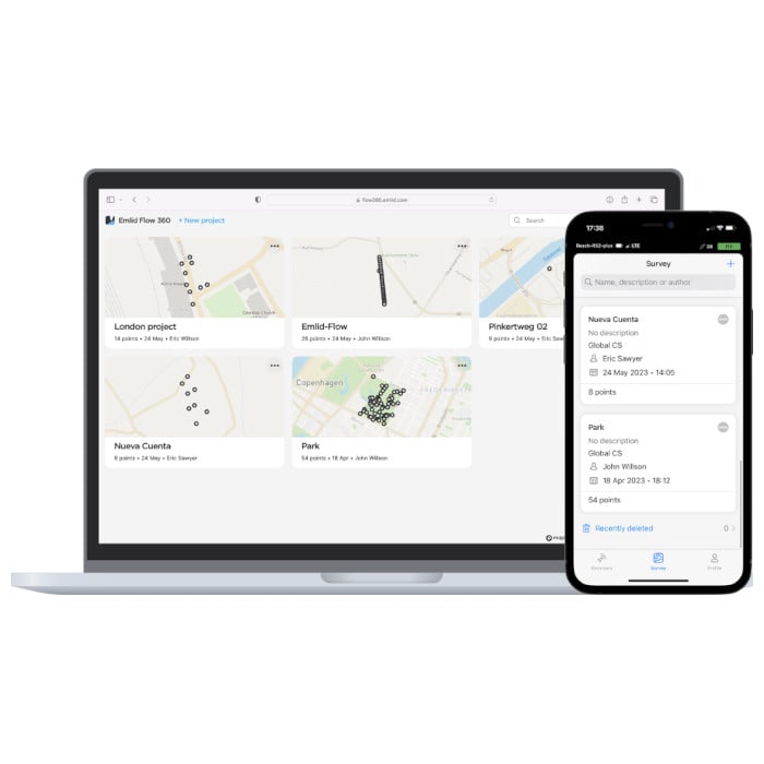
The Emlid Flow Survey Plan Subscription adds the following advanced survey features to the base Emlid Flow app and the Emlid Flow 360 cloud-based interface:
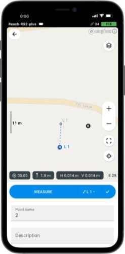
Linework data collection
Measure and move ahead with just a few taps. You can use either predefined geometry types or a full-blown code library, whatever suits your needs.
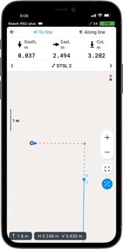
Line stakeout
With Emlid Flow visual guides, you can perform stakeout with an offset. The distance along the line indication will help you stake out with chainage.
Code library
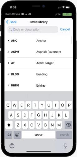
Upload your custom code library or use a standard one built into Emlid Flow with more than a hundred codes available from the start.
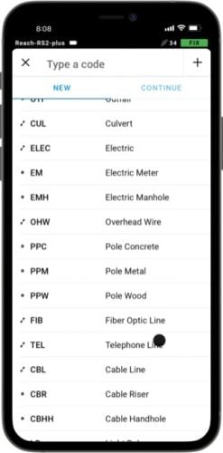
Add codes on the go
No survey library is perfect, so you can always create new codes on the go
right in your survey project.
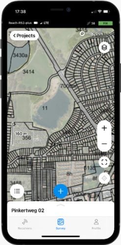
Different background maps
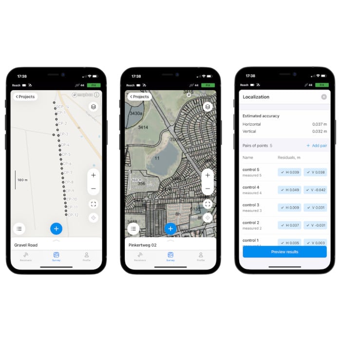
Upload topographic maps, cadastral plans, and aerial imagery from WMS and WMTS sources or work with a built-in satellite map.
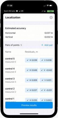
Localisation
Adjust your coordinate system to fit the control points. All residuals are placed on a single screen, so you have the full context while you adjust.
Resources

User Manual
Emlid Flow Documentation

Tutorial
Emlid Flow License Activation

