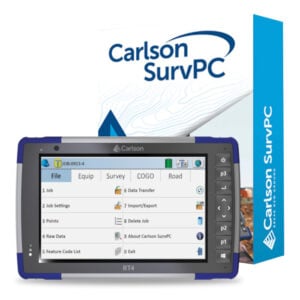
Description
Brand neutral, full featured
FieldGenius is brand neutral, with drivers to support most common hardware available in the market today, as well as yesterday. It is a mature, professional and full featured field survey software that also happens to be easy to use.
MicroSurvey FieldGenius has evolved over the last two decades to include all the tools your crew needs to resolve issues on site with all parts of the job, from pickup, to layout and as-builts.
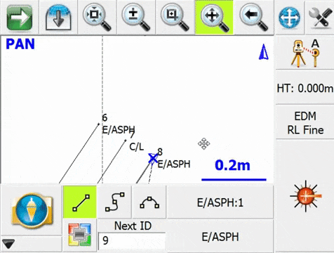
Code free line work
Map driven and intuitive
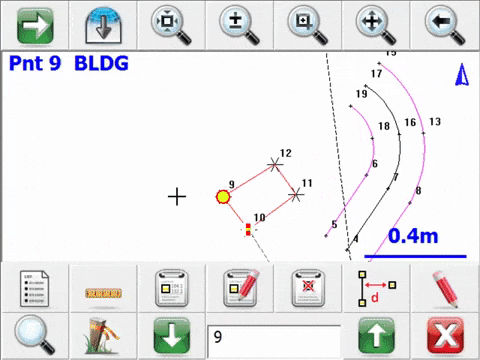
The features you need
TOTAL STATION AND GPS SUPPORT
FieldGenius supports all popular conventional and robotic total stations, as well as most RTK GPS receivers
POWERFUL ROAD MODULE
FieldGenius roading module is the most powerful and easy to use roading available
ALL THE STAKING TOOLS YOU WILL EVER NEED
FieldGenius includes staking commands for points, lines, arcs, alignments and 3D surfaces
WORKS WITH TABLETS AND DESKTOP PCS
Not just for mobile devices and data collectors – FieldGenius works great on Windows-based tablets as well
IT'S EASY TO USE
The Tap’n Survey interface allows you to take shots, stake points, edit coords, stake a line, or any of the things you do all day long
CODE-FREE CONNECTIVITY
Line connectivity is not feature code dependent. A single line may be made up of points having different feature codes
PAINLESS DATA TRANSFER
MicroSurvey’s ActiveSync support automatically connects with FieldGenius to show you all the projects on your device. Upload and download with a mouse click
AUTOMATE TOTAL STATION MEASUREMENTS
New MultiSet workflow designed for Robotic Total Stations – Configure the multiset and watch as the measurements are collected
ADVANCED DISPLAY
Improves the ease and speed of your survey data collection. Details of each shot can be displayed in a small pop up window in your drawing
CONTOURING, SURFACING, AND VOLUME CALCULATIONS
Create accurate contours in your hand. One tap functionality. Modeling could not be easier
SUPERIOR DATA IMPORT
More data imports than other software. FieldGenius’ RW5 support allows you to take an RAW file out of a TDS data collector and reprocess it into coordinates
CUSTOM TOOLBARS
Custom instrument control toolbars for GPS and total stations on the main interface minimizes the need to dig into menus for common toggles and settings
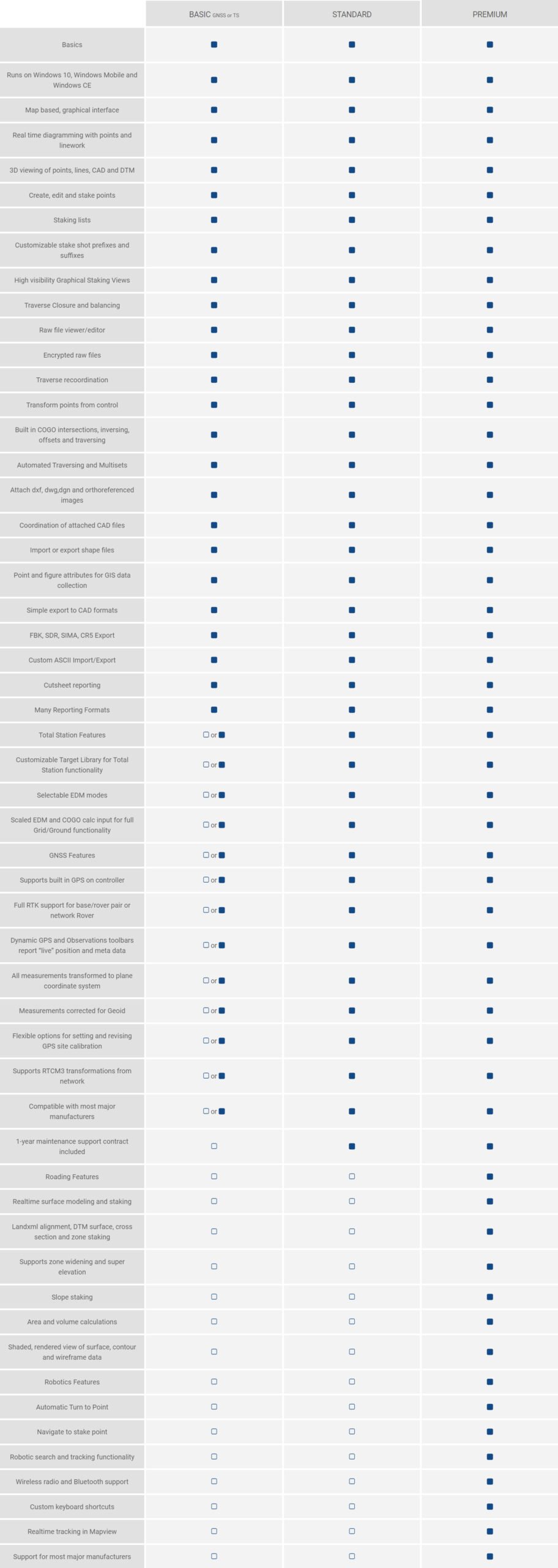
Edition comparison
Resources

MicroSurvey Knowledgebase
FieldGenius tutorial movies
MicroSurvey Download Centre
FieldGenius software download and installation instructions