Description
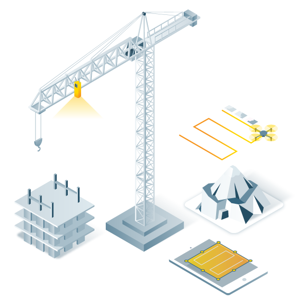
Capture
Collect terrestrial and drone data to get measurements at centimetre-level absolute accuracy.
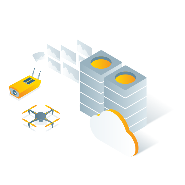
Process
Automatically generate accurate and georeferenced orthomosaics, 3D meshes, point clouds, and elevation models on the cloud.
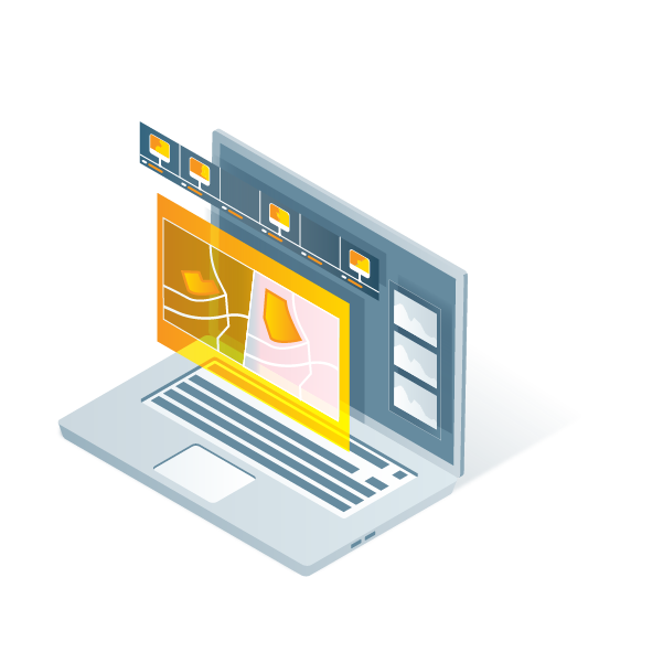
Analyse
Visualise, monitor and document site progress using an intuitive interface, a timeline, and built-in measurement tools, accessible online from any device or location.

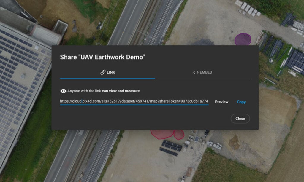
Share
With a simple URL, share the results with your team or clients to ensure seamless information flow and greater collaboration.
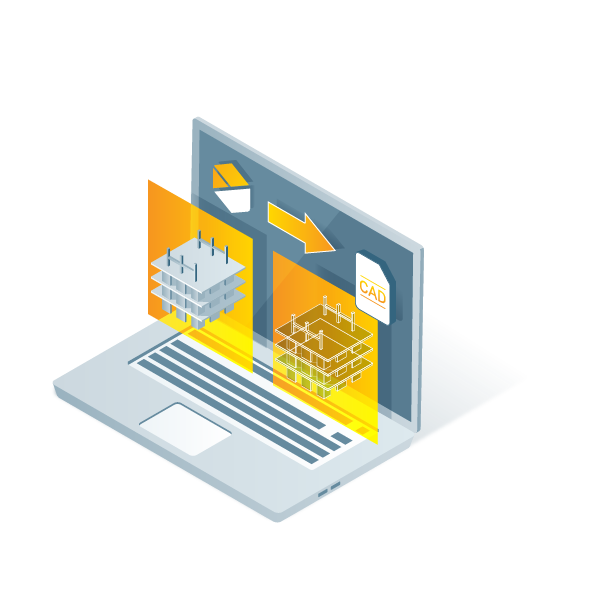
Integrate
Import data to the Trimble Connect platform and/or download all outputs and export to other third-party CAD and BIM software for your next steps.
Professional photogrammetry on the cloud
Easy to use
Start your new project in minutes. User-friendly platform with no previous training required.
Straightforward communication
Share your project status with team and stakeholders with the click of a button.
Up-to-date documentation
Keep a permanent and up-to-date record of the project and resolve disputes efficiently.
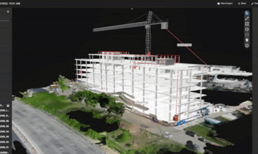
Map, measure, and document the progress of your site
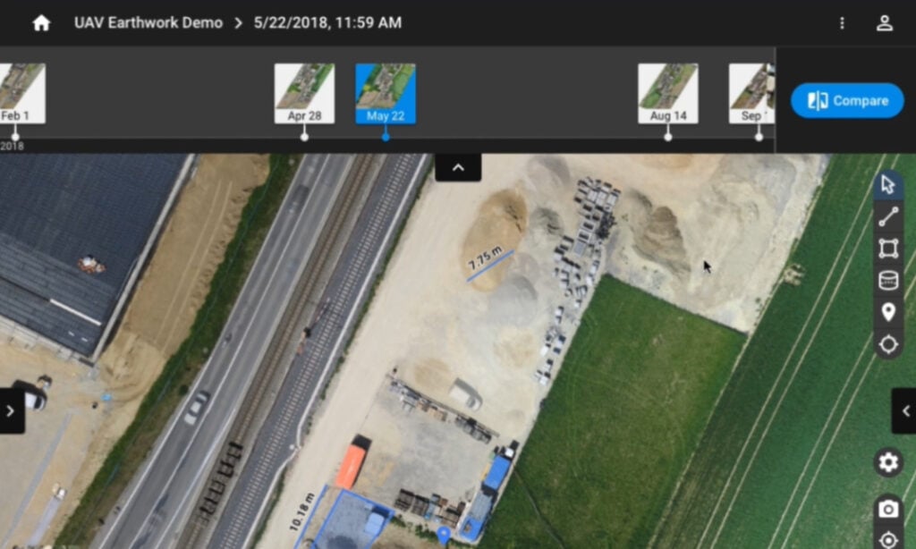
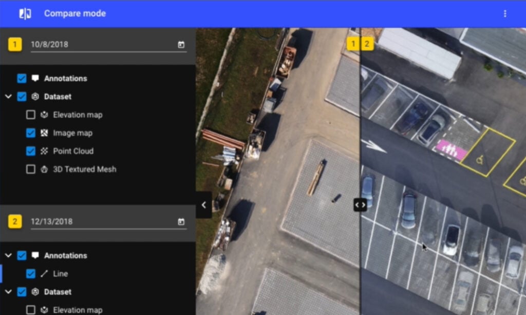
Timeline analysis
Visual timeline of your jobsite for site tracking and project documentation
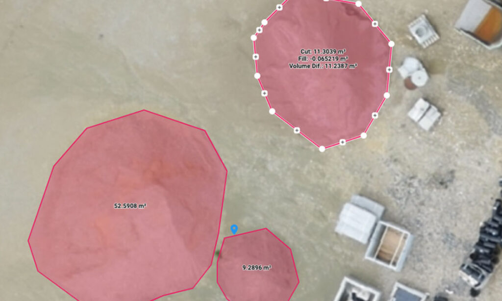
Calculate and compare volumes
Perform quick and precise volume calculations and compare them over time
Visualize your IFC files
Overlay your IFC files onto the 3D point cloud or mesh and get better visualization of your project
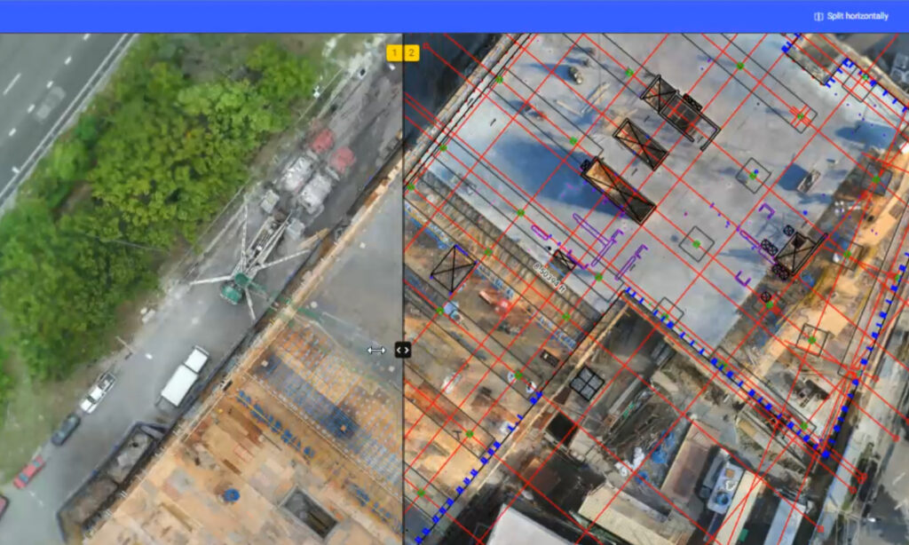
Overlay design plans and maps
Compare the as-built with the as-designed to instantly verify site progress
Compare in 2D/3D over time
Compare two specific days to get better visualization of your progress
Measure, annotate and share
Measure distances, highlight critical elements and share data with your team, clients or stakeholders
Resources
Knowledge Base
PIX4Dcloud Feature List
Knowledge Base
PIX4Dcloud Advanced Feature List

Knowledge Base
Pix4D Webinars and eBooks
Support
PIX4Dcloud Online Documentation