Description
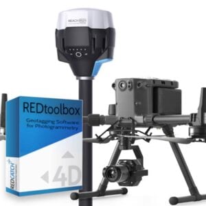
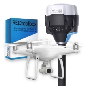
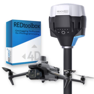
REDtoolbox performs multi-constellation (GPS, GLONASS, Beidou, Galileo) and multi-channel (L1, L2, L5) GNSS post processing of RTK/PPK base station and rover applications such as the Emlid Reach M2/M+ UAV Mapping Kits, DJI Phantom 4 RTK , DJI Matrice 300/350 RTK and u-blox chipsets.
The software outputs corrected photo and trigger coordinates in plain text format, and optionally injects the new accurate coordinates into the EXIF metadata of each corresponding photo. It can also output ready-to-use PIX4Dmapper, Agisoft Metashape and Google Earth project files, adding even more convenience to your PPK and photogrammetry workflows.
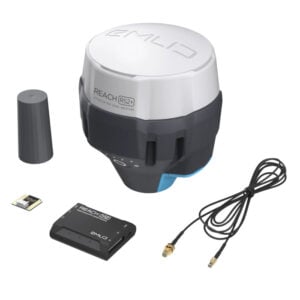
Processing data from the Emlid Reach M2 UAV Mapping Kit
Processing data from the DJI Phantom 4 RTK
System requirements
Standard PC
- Windows 8, 10 or 11 (64 bit);
- 8GB RAM;